|
Back to the Block 042 Topographic Map Index.
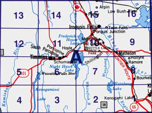
42A - Timmins, 42A01 - Kirkland Lake, 42A02 - Radisson Lake, 42A03 - Peterlong Lake, 42A04 - Kenogaming Lake, 42A05 - Dana Lake, 42A06 - Timmins, 42A07 - Watabeag River, 42A08 - Ramore, 42A09 - Matheson, 42A10 - Porquis Junction, 42A11 - Pamour, 42A12 - Kamiskotia Lake, 42A13 - Manning Lake, 42A14 - Buskegau River, 42A15 - Iroquois Falls, 42A16 - Low Bush. One or more of these maps cover Kettle Lakes Provincial Park
|