|
Back to the Block 082 Topographic Map Index.
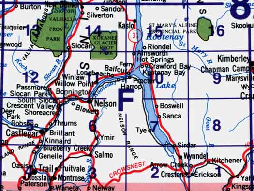
82F - Nelson, 82F01 - Yahk, 82F02 - Creston, 82F03 - Salmo, 82F04 - Rossland-Trail, 82F05 - Castlegar, 82F06 - Nelson, 82F07 - Boswell, 82F08 - Grassy Mountain, 82F09 - St Mary Lake, 82F10 - Crawford Bay, 82F11 - Kokanee Peak, 82F12 - Passmore, 82F13 - Burton, 82F14 - Slocan, 82F15 - Kaslo, 82F16 - Dewar Creek. One or more of these maps cover Kokanee Glacier Provincial Park, St Mary's Alpine Provincial Park and Valhalla Provincial Park
|