Home > Maps > Canadian Topographic Maps > Canadian Topographic Block 001 > Canadian Topographic Block 001K

Canadian Topographic Maps - Newfoundland Block 001K


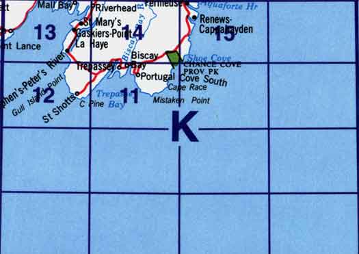
Use the following image to move to adjacent topo map indexes.

Sort By:
Page of 1
001K - TREPASSEY - Topographic Map. Includes contour lines, water bodies, roads, population centers, treed areas, etc. Printed topo maps are great for recreational activities such as hiking, camping, biking or fishing. Topographic maps have lat and longs 001K11 - TREPASSEY - Topographic Map 001K12 - ST. SHOTT'S - Topographic Map
001K13 - ST. MARY'S - Topographic Map 001K14 - BISCAY BAY RIVER - Topographic Map 001K15 - RENEWS - Topographic Map


Back to the eastern Newfoundland Topo Maps Index.

1K - Trepassey, 1K11 - Trepassey, 1K12 - St Shotts, 1K13 - St Mary's, 1K14 - Biscay Bay River, 1K15 - Renews.