Home > Maps > Canadian Topographic Maps > Canadian Topographic Block 012 > Canadian Topographic Block 012P

Canadian Topographic Maps - Block 012P


Use the following image to move to adjacent topo map indexes.

Sort By:
Page of 1
012P - BLANC-SABLON - Topographic Map 012P01 - SALMON RIVER - Topographic Map 012P02 - BRIG BAY - Topographic Map
012P05 - VIEUX-FORT - Topographic Map 012P06 - BLANC-SABLON - Topographic Map 012P07 - FLOWER'S COVE - Topographic Map
012P08 - EDDIES COVE - Topographic Map 012P09 - BIG BROOK - Topographic Map 012P10 - PINWARE - Topographic Map
012P11 - COLLINES DE BRADOR - Topographic Map 012P12 - LAC DELAGE - Topographic Map 012P13 - RUISSEAU CHANION - Topographic Map
012P14 - LAC SENAC - Topographic Map 012P15 - STOKERS HILL - Topographic Map 012P16 - BARGE BAY - Topographic Map


Back to the Newfoundland and Labrador Topographic Maps Index.

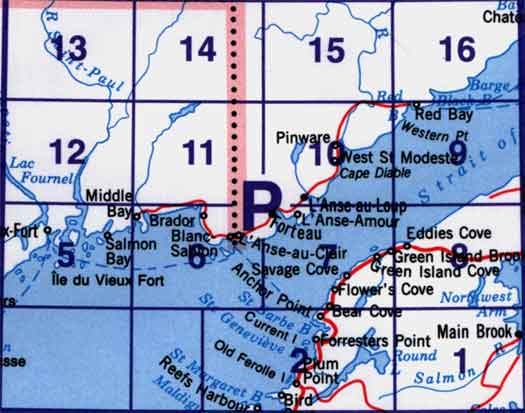
12P - Blanc-Sablon, 12P01 - Salmon River, 12P02 - Brig Bay, 12P03 - Part Of 12P02 Brig Bay, 12P05 - Vieux-Fort, 12P06 - Blanc-Sablon, 12P07 - Flower'S Cove, 12P08 - Eddies Cove, 12P09 - Big Brook, 12P10 - Pinware, 12P11 - Collines De Brador, 12P12 - Lac Delage, 12P13 - Ruisseau Chanion, 12P14 - Lac Senac, 12P15 - No Title, 12P16 - Barge Bay