Home > Maps > Canadian Topographic Maps > Canadian Topographic Block 021 > Canadian Topographic Block 021B

Canadian Topographic Maps - Block 021B


Use the following image to move to adjacent topo map indexes.

Sort By:
Page of 1
021B - EASTPORT - Topographic Map 021B01 - METEGHAN - Topographic Map 021B08 - CHURCH POINT - Topographic Map
021B09 - CENTREVILLE - Topographic Map 021B10 - GRAND MANAN ISLAND - Topographic Map 021B15 - CAMPOBELLO ISLAND - Topographic Map


Back to the Block 021 Topographic Map Index.

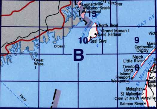
21B - Eastport, 21B01 - Meteghan, 21B06 - Part Of 21B10 Grand Manan Island, 21B07 - Part Of 21B10 Grand Manan Island, 21B08 - Church Point, 21B09 - Centreville, 21B10 - Grand Manan Island, 21B11 - Part Of 21B10 Grand Manan Island, 21B14 - Part Of 21B15 Campobello Island, 21B15 - Campobello Island