Submit
View cart
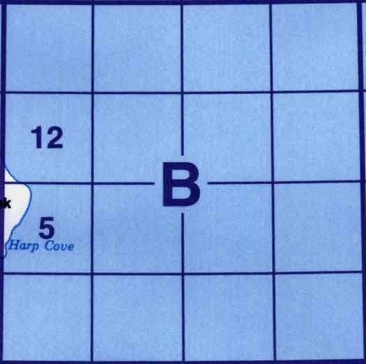
Use the following image to move to adjacent topo map indexes.
Back to the Newfoundland and Labrador Topographic Maps Index.
Back to the Quebec Topographic Maps Index.
Back to the Nunavut Topographic Maps Index.
25B - Part Of 25C Akpatok Island, 25B05 - Hanham Hill, 25B12 - Hell Point.