Home > Maps > Canadian Topographic Maps > Canadian Topographic Block 035 > Canadian Topographic Block 035D

Canadian Topographic Maps - Block 035D


Use the following image to move to adjacent topo map indexes.

Sort By:
Page of 1
035D10 - SMITH ISLAND - Topographic Map 035D16 - AKULIVIK - Topographic Map


Back to the Block 035 Topographic Map Index.

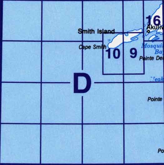
35D - Part Of 35C Povungnituk, 35D - Part Of 034N Kogaluk Bay, 35D09 - Cape Smith, 35D09 - Part Of 35D16 Akulivik, 35D10 - Smith Island, 35D15 - Part Of 35D10 Smith Island, 35D16 - Part Of 35D09 Cape Smith, 35D16 - Akulivik