Submit
View cart
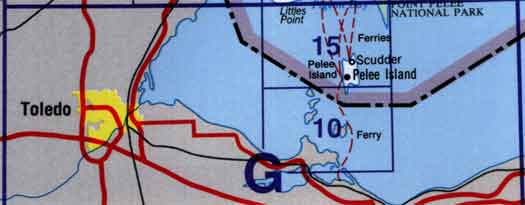
Use the following image to move to adjacent topo map indexes.
Back to the Block 040 Topographic Map Index.
40G - Toledo, 40G10 - Middle Island, 40G14 - Part Of 40G15 Pelee Island, 40G15 - Pelee Island, 40G16 - Part Of 40G15 Pelee Island. One or more of these maps cover a portion of Point Pelee National Park