Home > Maps > Canadian Topographic Maps > Canadian Topographic Block 072 > Canadian Topographic Block 072E

Canadian Topographic Maps - Block 072E


Use the following image to move to adjacent topo map indexes.

Sort By:
Page of 1
072E - FOREMOST - Topographic Map 072E01 - CRIPPLE CREEK - Topographic Map 072E02 - CALIB COULEE - Topographic Map
072E03 - ADEN - Topographic Map 072E04 - COUTTS - Topographic Map 072E05 - LEGEND - Topographic Map
072E06 - FOREMOST - Topographic Map 072E07 - MANYBERRIES - Topographic Map 072E08 - THELMA CREEK - Topographic Map
072E09 - ELKWATER LAKE - Topographic Map 072E10 - BULLS HEAD - Topographic Map 072E11 - MALEB - Topographic Map
072E12 - SKIFF - Topographic Map 072E13 - GRASSY LAKE - Topographic Map 072E14 - BOW ISLAND - Topographic Map
072E15 - SEVEN PERSONS - Topographic Map 072E16 - IRVINE - Topographic Map AB072E - FOREMOST - Topographic Map. The Alberta 1:250,000 scale paper topographic map series is part of the Alberta Environment & Parks Map Series. They are also referred to as topo or topographical maps is very useful for providing an overview of an are


Back to the Block 072 Topographic Map Index.

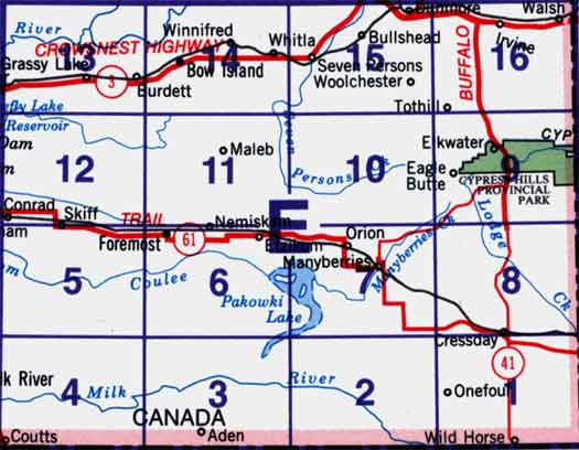
72E - Foremost, 72E01 - Cripple Creek, 72E02 - Calib Coulee, 72E03 - Aden, 72E04 - Coutts, 72E05 - Legend, 72E06 - Foremost, 72E07 - Manyberries, 72E08 - Thelma Creek, 72E09 - Elkwater Lake, 72E10 - Bulls Head, 72E11 - Maleb, 72E12 - Skiff, 72E13 - Grassy Lake, 72E14 - Bow Island, 72E15 - Seven Persons, 72E16 - Irvine. One or more of these maps cover the western portion of Cypress Hills Provincial Park