Home > Maps > Canadian Topographic Maps > Canadian Topographic Block 116 > Canadian Topographic Block 116P

Canadian Topographic Maps - Block 116P


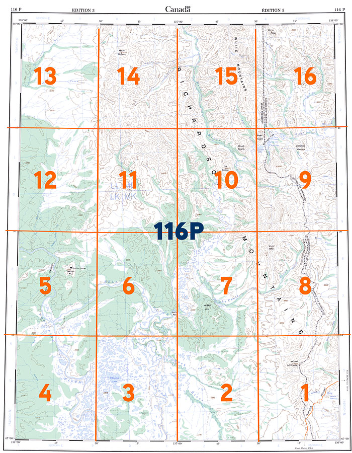
Use the following image to move to adjacent topo map indexes.

Sort By:
Page of 1
116P - BELL RIVER - Topographic Map 116P01 - MOUNT SITTICHINLI - Topographic Map 116P02 - PEBBLE BROOK - Topographic Map
116P03 - TIZRA CREEK - Topographic Map 116P04 - NUKON CREEK - Topographic Map 116P05 - MASON HILL - Topographic Map
116P06 - LAPIERRE HOUSE - Topographic Map 116P07 - MOSES HILL - Topographic Map 116P08 - MOUNT MILLEN - Topographic Map
116P09 - MCDOUGALL PASS - Topographic Map 116P10 - MOUNT DENNIS - Topographic Map 116P11 - WATERS RIVER - Topographic Map
116P12 - BERRY CREEK - Topographic Map 116P13 - TAKIAH CREEK - Topographic Map 116P14 - MOUNT MCGUIRE - Topographic Map
116P15 - VUNTA CREEK - Topographic Map 116P16 - SCHO CREEK - Topographic Map


Back to the Block 116 Topographic Map Index.