Submit
View cart
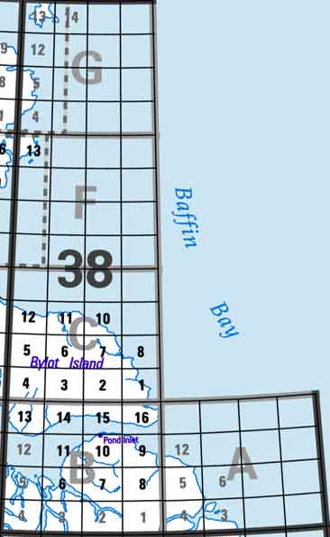
Click on the area below to retrieve topo maps from our database.
Each lettered square on the topo map index above represents the following 1:250 000 scale topo maps: 38A - Nova Zembla Island, 38B - Pond Inlet, 38C - Bylot Island, 38F - Part of 48E Dundas Harbour, 38G - Part of 48H Lady Ann Strait.