QUESTIONS? CALL OR TEXT! 1 (877) 921-6277 or (403) 266-2241
WE SHIP EVERYWHERE!

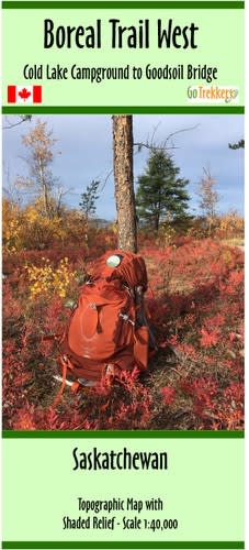


Conquer Saskatchewan’s premier backpacking destination with the Boreal Trail West Map. This high-precision topographic guide covers the western half of the legendary 135 km Boreal Trail, spanning from the Cold Lake Campground to the Goodsoil Bridge. As the only year-round destination hiking trail in the Saskatchewan Provincial Park system, the Boreal Trail offers an immersive journey through lush boreal forests and past sparkling glacial lakes.
Expertly rendered at a detailed 1:40,000 scale, this map features shaded relief to help hikers navigate the rolling terrain of Meadow Lake Provincial Park. Designed for the serious trekker, the map includes kilometer markers that sync perfectly with on-trail signage, as well as precise GPS coordinates for key junctions. Every designated "Leave No Trace" campsite is clearly identified, along with essential icons for pit toilets, barbecue pits, and bear-proof food lockers. Whether you are planning a single-night escape or a multi-day thru-hike, this 41.5" x 13.8" strip map provides the clarity and detail needed for a safe, rewarding backcountry experience.
Key Features:
Detailed West Block Coverage: Navigational data for the trail section from Cold Lake Campground through to the Goodsoil Bridge.
1:40,000 High-Resolution Scale: Enhanced detail for superior terrain recognition and precise orienteering in the boreal forest.
Backcountry Logistics: Highlights designated campsites equipped with pit toilets and bear-proof food lockers.
Thru-Hike Ready: Includes kilometer markers at every interval and intersecting trail markers to keep you on track.
Terrain Visualization: Features shaded relief and topographic contours to help you anticipate elevation changes.
Field Durability: Printed on high-quality paper and delivered in a protective plastic sleeve for all-weather hiking.