QUESTIONS? CALL OR TEXT! 1 (877) 921-6277 or (403) 266-2241
WE SHIP EVERYWHERE!

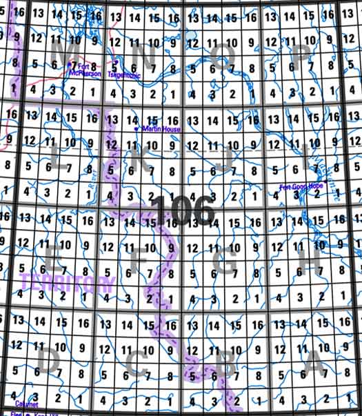
Click on an area of the map below to retrieve topo maps from our database.
Each lettered square on the topo map index above represents the following 1:250 000 scale topographical maps: 106A - Mount Eduni, 106B - Bonnet Plume Lake, 106C - Nadaleen River, 106D - Nash Creek, 106E - Wind River, 106F - Snake River, 106G - Ramparts River, 106H - Sans Sault Rapids, 106I - Fort Good Hope, 106J - Ontaratue River, 106K - Martin House, 106L - Trail River, 106M - Fort Mcpherson, 106N - Arctic Red River, 106O - Travaillant Lake, 106P - Canot Lake.