Home > Maps > Canadian Topographic Maps > Canadian Topographic Block 002 > Canadian Topographic Block 002M

Canadian Topographic Maps - Newfoundland Block 002M


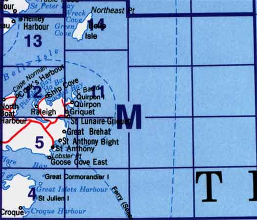
Use the following image to move to adjacent topo map indexes.

Sort By:
Page of 1
002M - ST ANTHONY - Topographic Map 002M04 - ST. JULIEN'S - Topographic Map 002M05 - ST. ANTHONY - Topographic Map
002M11 - QUIRPON - Topographic Map 002M12 - RALEIGH - Topographic Map 002M13W - HENLEY HARBOUR - Topographic Map
002M14 - BELLE ISLE - Topographic Map


Back to the eastern Newfoundland Topographical Maps Index.

2M - St Anthony, 2M04 - St Julien'S, 2M05 - St Anthony, 2M06 - Part Of 2M05 St Anthony, 2M11 - Quirpon, 2M12 - Raleigh, 2M13W - Chateau Point, 2M14 - Belle Isle