QUESTIONS? CALL OR TEXT! 1 (877) 921-6277 or (403) 266-2241
WE SHIP EVERYWHERE!
QUESTIONS? CALL OR TEXT! 1 (877) 921-6277 or (403) 266-2241
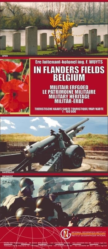

FLANDERS FIELDS - BELGIUM WW1 MILITARY HERITAGE MAP
This unique and highly detailed map is your essential companion for exploring the poignant history of Flanders Fields and the West Flanders Military Heritage region of Belgium. Designed specifically for the discerning tourist, this map invites you to discover the many sites that bear witness to the intense battles of the First World War (WW1).
Key Features for the Battlefield Tourist:
Comprehensive Site Location: Clearly marks and identifies all major and minor sites, including the famous Ypres Salient battle zone.
WWI Cemeteries: Locates all key military burial grounds, such as the vast Tyne Cot Cemetery and the German cemeteries, allowing for easy navigation for those researching family history or paying respects.
Memorials and Monuments: Pinpoints crucial landmarks like the Menin Gate (site of the daily Last Post ceremony), the Yser Tower, and various national memorials dedicated to the fallen.
Historical Infrastructure: Detailed iconography highlights castles, forts, walled towns, and battlefields, tracing the long history of conflict in West Flanders.
Museum Guide: Includes the location of important sites like the In Flanders Fields Museum and other war museums, perfect for planning a complete historical tour.
Logistical Clarity: The map provides clear road networks and topographical detail (Scale 1:650,000 is provided here, if a more general scale is needed, it would be "Large, Clear Scale") to help you navigate this historically dense area.
Embark on a thoughtful journey along the Western Front in Belgium with the most comprehensive Flanders Fields tourist map available.
