QUESTIONS? CALL OR TEXT! 1 (877) 921-6277 or (403) 266-2241
WE SHIP EVERYWHERE!

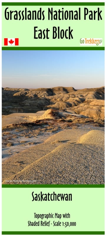


Explore the rugged, prehistoric landscapes of Southern Saskatchewan with the Grasslands National Park East Block Map. This high-precision, 1:50,000 scale topographic guide is the definitive resource for navigating the remote and awe-inspiring "Valley of 1,000 Devils." Featuring advanced shaded relief, this map brings the intricate coulees and ancient formations of the Saskatchewan Badlands to life, providing hikers and explorers with the geographic clarity needed for off-trail and backcountry adventures.
Measuring an expansive 40" x 24", this map offers comprehensive coverage of the East Block’s unique features. It highlights the stunning Badlands Parkway, a premier car tour route that offers some of the most dramatic vistas in the Canadian prairies. For those on foot or bike, the map delineates all established hiking and mountain biking trails, ensuring you can find your way to hidden viewpoints and fossil-rich areas safely. Essential logistics are clearly marked, including the Rock Creek Campground, local campsites, and park access points. Whether you are stargazing in this Dark Sky Preserve or trekking through the high-contrast terrain of the East Block, this map is your essential companion for a safe and immersive experience.
Key Features:
1:50,000 Scale Precision: Detailed topographic contours and shaded relief for superior navigation in complex badlands terrain.
Expansive Coverage: Specifically designed for the East Block of Grasslands National Park, including the Valley of 1,000 Devils.
Badlands Parkway Guide: Clearly identifies the park’s signature car tour route and associated scenic overlooks.
Multi-Sport Navigation: Features dedicated markers for hiking trails, mountain biking routes, and backcountry access points.
Complete Logistics: Includes the Rock Creek Campground, parking areas, and essential visitor facilities.
Field-Ready Protection: Printed on high-quality paper and delivered in a protective plastic sleeve to withstand the elements.