QUESTIONS? CALL OR TEXT! 1 (877) 921-6277 or (403) 266-2241
WE SHIP EVERYWHERE!

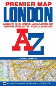
Navigate Greater London with unmatched clarity using the London Premier Street Map by A-Z Maps. World-renowned for their exceptionally easy-to-read cartography and exhaustive detail, Geographers' A-Z maps are the gold standard for urban navigation across the United Kingdom's capital.
This comprehensive street map centers on Charing Cross and extends six miles out in all directions, delivering complete coverage of Central London, the West End, the City of London, and inner-ring boroughs.
6-Mile Radius Coverage: Encompasses all major districts within six miles of Charing Cross, including Kensington, Camden, Greenwich, Islington, Lambeth, and Docklands.
Comprehensive Street Index: Features a detailed, easy-to-use street name index for quick grid-reference lookups across thousands of roads, lanes, and courts.
Transit & Infrastructure Highlights: Clearly marks Underground (Tube) stations, Overground stops, National Rail train stations, bus corridors, and major road networks.
Points of Interest & Industrial Estates: Pinpoints iconic London landmarks, museums, historic sites, parks, public buildings, hospitals, and commercial/industrial zones.
Whether navigating central tourist sites, driving inner-city delivery routes, or exploring classic London neighborhoods, this A-Z Premier Street Map is your quintessential capital guide.