QUESTIONS? CALL OR TEXT! 1 (877) 921-6277 or (403) 266-2241
WE SHIP EVERYWHERE!

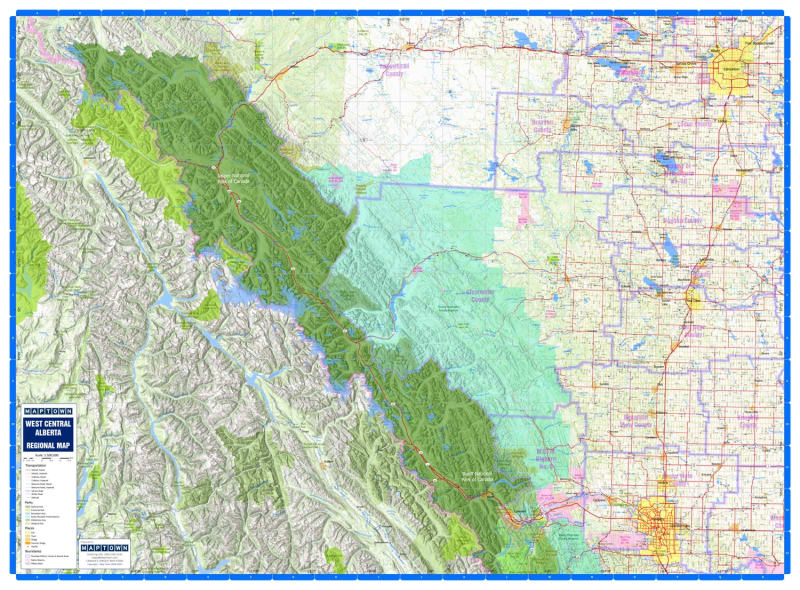


Explore the heart of the province with the high-detail West Central Alberta Regional Wall Map. This comprehensive corridor map spans from Calgary to Edmonton, showcasing the vital transportation links and natural wonders of the region. A primary feature is the extensive coverage of the mountain parks system, providing detailed views of Banff and Jasper National Parks with stunning 3D relief elevation to visualize the rugged topography.
Engineered for rural navigation and land management, this map is specifically designed to allow users to identify township and range roads at a glance. It provides an exhaustive directory of geographical and political features, including First Nations and Metis Settlements, Counties, Municipal Districts (MDs), and Special Areas. Urban centers are clearly defined, featuring Calgary, Edmonton, Red Deer, Airdrie, St. Albert, Fort Saskatchewan, Spruce Grove, and Chestermere. From Canadian Forces Bases and protected wildlands to intricate river systems and vegetation layers, this map is the ultimate professional and recreational resource for Central Alberta.