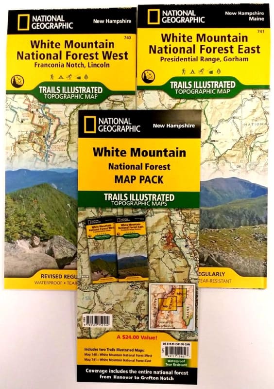
White Mountain National Forest Trail Illustrated map pack by National Geographic. Includes two maps in this set Presidential Range, Gorham in the east and Franconia Notch, Lincoln in the west. These maps are waterproof and tear resistant.
The White Mountain National Forest Map Pack Bundle is the perfect companion to anyone planning a trip the stunning White Mountains of New Hampshire. The White Mountains are famous for thier rugged peaks and stunning beauty. This Map Pack combines two maps that cover the White Mountain National Forest in wonderful detail. The entire New Hampshire section of the Appalachian Trail can be found on these maps. Franconia Notch and Crawford.
National Geographic Guide Maps combine the most reliable road maps available with detailed travel guide information. All this folds into a convenient, durable map perfect for either vacation or hiking.