QUESTIONS? CALL OR TEXT! 1 (877) 921-6277 or (403) 266-2241
WE SHIP EVERYWHERE!

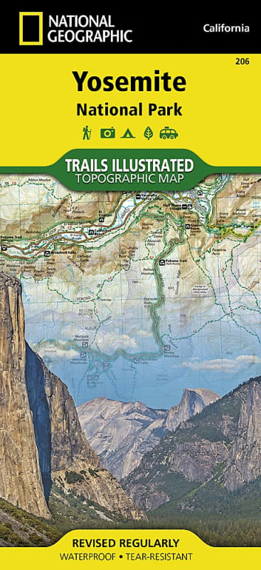

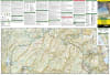

With nearly 800 miles of mapped trails, the Yosemite National Park map can guide you on and off the beaten path. The map clearly marks the trails with mileages between intersections, and the base includes contour lines and elevations for summits, passes, and major lakes. Additionally, the map displays a variety of recreational features, such as campgrounds, trailheads, tram tours, ski areas, river access, scenic overlooks, scenic byways, and interpretive trails.
Every Trails Illustrated map is printed on "Backcountry Tough" waterproof and tear-resistant paper, and a full UTM grid is printed on the map to aid with GPS navigation.
Other notable features found on this map include Ansel Adams Wilderness, Bridalveil Fall, Cathedral Range, El Capitan, Emigrant Wilderness, Excelsior Mountain, Hoover Wilderness, Illilouette Falls, Inyo National Forest, Lake Eleanor, Lower Yosemite Fall, Matterhorn Peak, Mount Dana, Mount Lyell, Mount Ritter, Nevada Fall, Ribbon Fall, Ritter Range, Sierra National Forest, Silver Strand Falls, Stanislaus National Forest, Tioga Pass, Toiyabe National Forest, Upper Yosemite Falls, Vernal Fall, Yosemite National Park, and Yosemite Valley. Overall, this Trails Illustrated map is an excellent resource for anyone planning to explore the wonders of Yosemite National Park.
Click to see a zoomed in view of this map...