QUESTIONS? CALL OR TEXT! 1 (877) 921-6277 or (403) 266-2241
WE SHIP EVERYWHERE!

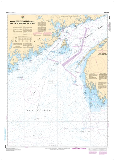
Navigate the primary entrance to one of the world’s most dynamic maritime environments with the Official CHS Chart 4011. This essential large-scale chart covers the Approaches to the Bay of Fundy, providing the critical hydrographic data needed for vessels transitioning from the open Atlantic into the high-current waters of the Bay.
As a genuine Canadian Hydrographic Service (CHS) publication, Chart 4011 is a foundational tool for commercial shipping, international transit, and offshore fishing fleets. The "Approaches" chart is specifically designed to guide mariners through the outer reaches of the Bay, where the complex interaction of Atlantic swells and powerful tidal surges begins.
Key Features include:
Strategic Outer Bay Coverage: Detailed mapping of the entrance to the Bay of Fundy, including the waters off Southwest Nova Scotia and Southern New Brunswick.
Official Data Standards: Compiled by the CHS to meet all regulatory carriage requirements for safe maritime navigation.
Complex Bathymetry: Provides precise depth soundings and contour data essential for managing the significant tidal movements and underwater ledges of the region.
Navigational Hazards & Aids: Features clearly marked offshore ledges, primary coastal lights, and shipping lanes for the Atlantic gateway.