QUESTIONS? CALL OR TEXT! 1 (877) 921-6277 or (403) 266-2241
WE SHIP EVERYWHERE!

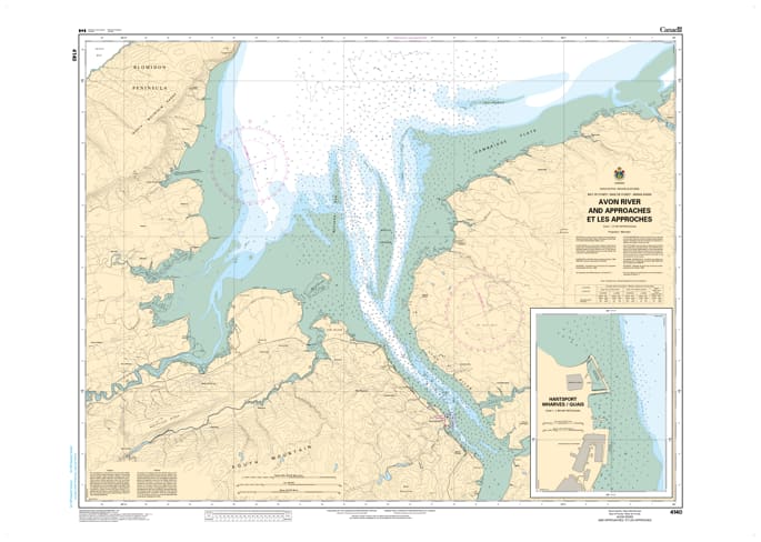
Navigate the extreme tidal environment of the Minas Basin with the CHS Chart 4140: Avon River and Approaches. Produced by the Canadian Hydrographic Service (CHS), this specialized nautical chart is an essential tool for mariners entering the Avon River system from the Bay of Fundy.
Given that this region experiences some of the highest horizontal and vertical tidal ranges in the world, Chart 4140 provides the high-resolution hydrographic data necessary for safe pilotage. The map covers the critical approach from the Minas Basin into the river mouth, providing detailed bathymetry for the waters surrounding Hantsport and Windsor, Nova Scotia. It meticulously details the shifting sandbars, mudflats, and drying features that define this unique maritime corridor.
Key Features include:
Specialized Tidal Data: Essential for calculating clearance in a river system where water levels fluctuate dramatically twice daily.
Large-Scale Accuracy: Features precise depth soundings (at Chart Datum), shoreline topography, and submerged hazards.
Strategic Coverage: Detailed mapping of the approaches to industrial and recreational facilities in Hantsport and the historic town of Windsor.
Navigational Aids: Clear marking of buoys, range lights, and coastal landmarks used for visual positioning.
Official CHS Publication: Meets federal carriage requirements for commercial vessels and provides the authoritative standard for recreational safety in the Minas Basin.