QUESTIONS? CALL OR TEXT! 1 (877) 921-6277 or (403) 266-2241
WE SHIP EVERYWHERE!

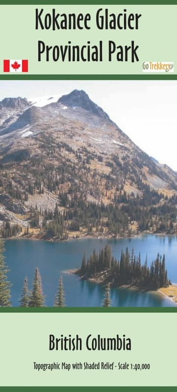
Explore one of British Columbia’s oldest and most iconic provincial parks with the Kokanee Glacier Provincial Park Summer Hiking Map. This high-detail 1:50,000 scale topographic map is the definitive guide for hikers, scramblers, and backcountry campers venturing into the rugged Selkirk Mountains. Featuring crisp shaded relief, the map brings the park’s dramatic granite peaks and glacial valleys to life, making it easy to visualize your route through the Nelson Batholith.
Whether you are planning a day hike to Gibson Lake, an overnight stay at the Kaslo Lake Campground, or a multi-day expedition to the prestigious Kokanee Glacier Cabin (Slocan Chief), this map provides the essential data for a safe journey.
Key Map Features:
Comprehensive Trail Network: Includes all maintained hiking trails, wilderness routes, and access points for the Enterprise, Lemon, and Woodbury Creek drainages.
Navigation Ready: Trailhead locations are clearly marked in both Decimal Degrees and UTM coordinates, perfect for use with GPS units and traditional compass work.
Backcountry Infrastructure: Precisely locates all park campsites, picnic shelters, and Alpine Club of Canada (ACC) huts/lodges including Silver Spray and Woodbury Cabin.
Durable & Portable: Printed on premium paper and delivered in a protective plastic sleeve. The folded design fits perfectly in a pack side-pocket or chest rig.
Shaded Relief: Enhanced contour detail (1:50,000) for superior terrain association.
Note on Shipping: Standard maps are sent folded in a protective sleeve. Laminated versions are available for maximum weatherproofing and will be shipped rolled.