QUESTIONS? CALL OR TEXT! 1 (877) 921-6277 or (403) 266-2241
WE SHIP EVERYWHERE!

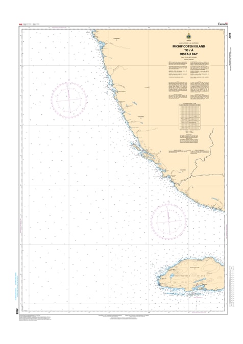
Navigate the deep, open-water crossing of Northeastern Lake Superior with Nautical Chart 2308. This professional hydrographic map provides essential coverage for the offshore and coastal waters between the remote Michipicoten Island and Oiseau Bay, a critical segment for mariners traversing the northern Great Lakes.
Chart 2308 is designed to handle the unique challenges of Lake Superior's mid-lake and coastal environments. It features high-accuracy depth soundings, identifies significant underwater shoals near the island’s perimeter, and provides clear tracking for the primary transit routes along the North Shore. Whether you are seeking shelter in the lee of Michipicoten Island or navigating the rugged approach to Oiseau Bay, this chart offers the precise bathymetric data and navigational aid locations necessary for a safe voyage.
Key Features:
Expansive Regional Coverage: Maps the vital corridor from the eastern end of Michipicoten Island to the mainland at Oiseau Bay.
Hydrographic Precision: Includes updated depth contours, rocky outcropping alerts, and shoreline topography.
Offshore Navigation: Features critical data for vessel positioning in the open waters of the Lake Superior basin.
Superior Readability: High-contrast markings ensure the chart is easy to interpret during heavy weather or low-light conditions.