QUESTIONS? CALL OR TEXT! 1 (877) 921-6277 or (403) 266-2241
WE SHIP EVERYWHERE!

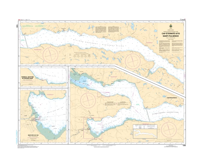
Navigate the majestic and deep waters of the Saguenay Fjord with the professional authority of the Canadian Hydrographic Service (CHS). Chart 1202 is the essential navigational guide for the upper reaches of the Saguenay River, providing high-resolution data for the transit between the iconic cliffs of Cap Éternité and the tidal flats of Saint-Fulgence.
The Saguenay is world-renowned for its dramatic depth transitions and unique tidal currents. CHS Chart 1202 provides the "ground-truth" data required for:
Detailed 1:30,000 Scale: Offers the granular detail necessary for identifying safe leads through the narrows and into the expansive Baie de Ha! Ha!.
Approach to Saguenay (Chicoutimi): Provides critical bathymetry for vessels heading toward the port facilities of Saguenay, including the transition from the deep fjord to the shallower riverbed.
Hazard & Landmark Identification: Explicitly marks submerged rocks, shoals, and navigational aids, while highlighting the towering coastal elevations that make the fjord a world-class maritime destination.
Safety in a Protected Marine Area: Essential for mariners navigating the Saguenay-St. Lawrence Marine Park, ensuring compliance with environmental zones and safe distance from sensitive marine life.
With increasing commercial shipping and recreational cruising in the Saguenay-Lac-Saint-Jean region, the role of Chart 1202 is more vital than ever. Whether you are a professional pilot on a cruise ship or a local sailor exploring the hidden coves of the fjord, this official CHS "road map" provides the accuracy needed to navigate the configuration, dangers, and aids of these legendary waters.
| Feature | Details |
| Chart Number | 1202 |
| Region | Quebec (Saguenay River / Fjord) |
| Scale | 1:30,000 |
| Publisher | Canadian Hydrographic Service (CHS) |
| Key Coverage | Cap Éternité, Saint-Basile-de-Tableau, Baie de Ha! Ha!, Saint-Fulgence |
| Language | Bilingual (English/French) |