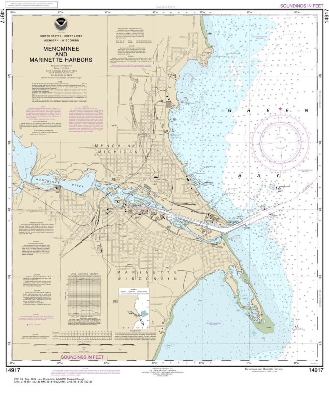
NOAA Chart 14917. Nautical Chart of Menominee and Marinette Harbors. NOAA charts portray water depths, coastlines, dangers, aids to navigation, landmarks, bottom characteristics and other features, as well as regulatory, tide, and other information. They contain all critical corrections published in notices to mariners since the last new edition of the chart was released, as well as any newly compiled routine changes.
Map Town is a NOAA Certified Chart Agent. We ensure that your charts are printed at the proper scale and quality to meet U.S. Coast Guard (USCG) chart carriage requirements. Only charts printed by a NOAA certified chart agent are accepted by the USCG as meeting chart carriage requirements for commercial vessels. No other raster chart format meets USCG carriage requirements.