QUESTIONS? CALL OR TEXT! 1 (877) 921-6277 or (403) 266-2241
WE SHIP EVERYWHERE!

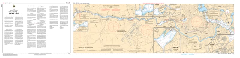
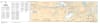
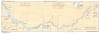
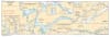
Navigate the legendary "northern half" of the Rideau Canal with the 1512 - Ottawa to/à Smiths Falls Nautical Chart set. This professional-grade collection includes three essential sheets that provide exhaustive coverage of the waterway as it climbs from the Ottawa River toward the height of land at Smiths Falls. Whether you are piloting a cruiser through the flight locks or paddling the tranquil stretches of the Rideau River, this chart set delivers the "ground-truth" data required for safe passage.
Produced to the rigorous standards of the Canadian Hydrographic Service (CHS), Chart 1512 offers a standard scale of 1:20,000 with high-detail 1:4,800 inserts for critical lockstations:
Sheet 1 (Ottawa to Long Island): Covers the dramatic start at the Ottawa flight locks, Dow's Lake, and the transit through Black Rapids and Hogs Back.
Sheet 2 (Long Island to Becketts Landing): Detailed bathymetry for the Kars area and the winding river stretches through the Long Island lock system.
Sheet 3 (Becketts Landing to Smiths Falls): Comprehensive mapping for the southern approach into Smiths Falls, including Merrickville, Burritts Rapids, and Kilmarnock.
Detailed Lockstation Insets: Features specialized large-scale maps for every lock from Ottawa (Locks 1-8) to Smiths Falls (Locks 29A, 31).
Beyond its function as a "road map" for the water, this chart set is a sophisticated record of Canadian geographic history.
Official Technical Standards: Showcases intricate line work, sounding density (measured in feet), and specialized symbols for navigational aids and hazards.
Vivid Print Clarity: Printed with high-definition precision on demand to ensure all latest notices and navigational significance are included.
The Ultimate Rideau Gift: An ideal memento for residents of Ottawa, Manotick, or Smiths Falls who celebrate their connection to this world-class waterway.
| Feature | Details |
| Chart Number | 1512 |
| Location | Rideau Canal / Rideau Waterway (Northern Reaches) |
| Format | Set of 3 Sheets (Single Sided) |
| Scale | 1:20,000 (Main Sheets) / 1:4,800 (Lock Insets) |
| Key Areas | Ottawa, Long Island, Merrickville, Smiths Falls |
| Publisher | Canadian Hydrographic Service (CHS) |