QUESTIONS? CALL OR TEXT! 1 (877) 921-6277 or (403) 266-2241
WE SHIP EVERYWHERE!

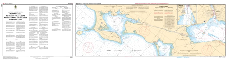
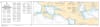
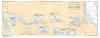
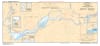
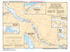
Begin your journey through Canada's historic interior with the 2021 - Murray Canal to/à Healey Falls Locks Nautical Chart set. This professional-grade collection includes four essential maps that provide exhaustive coverage of the first leg of the Trent-Severn Waterway. Whether you are transiting from Lake Ontario via the Murray Canal or navigating the river currents through Trenton, this chart set delivers the technical data required for a safe and storied voyage.
Produced to the rigorous standards of the Canadian Hydrographic Service (CHS), Chart 2021 offers high-resolution detail for the technical entry to the canal system:
The Murray Canal & Bay of Quinte: Features detailed bathymetry for the historic Murray Canal, providing critical information for the approach from Presqu'ile Bay.
Trenton & the Lower Trent: Comprehensive mapping of the Trent River mouth at Trenton, including bridge clearances and the approach to Lock 1.
Lockstation Insets: Includes specialized high-scale details for the locks and dams from Lock 1 (Trenton) through to the impressive Healey Falls (Lock 15/16/17).
River Navigation: Provides accurate soundings and safe-water tracks for the winding stretches of the Trent River, identifying submerged hazards and shifting shoals.
Beyond the wheelhouse, this chart set is a sophisticated record of the incredible engineering required to link the Great Lakes to the Georgian Bay.
Official Technical Aesthetic: Showcases the intricate line work, sounding density, and specialized inland symbols that define professional Canadian hydrography.
Vivid Print Clarity: Printed with high-definition precision to ensure every buoy, lock gate, and depth contour is sharp and legible for route planning or display.
The Perfect Gift for the Loop Traveler: An essential memento for those undertaking the "Great Loop" or local boaters in Quinte West and Campbellford.
| Feature | Details |
| Chart Number | 2021 |
| Location | Trent-Severn Waterway (Eastern Section) |
| Format | Set of 4 Maps |
| Key Areas | Murray Canal, Trenton, Frankford, Campbellford, Healey Falls |
| Data Type | Hydrographic (River Depths, Lock Details, Bridge Clearances) |
| Publisher | Canadian Hydrographic Service (CHS) Standards |