QUESTIONS? CALL OR TEXT! 1 (877) 921-6277 or (403) 266-2241
WE SHIP EVERYWHERE!

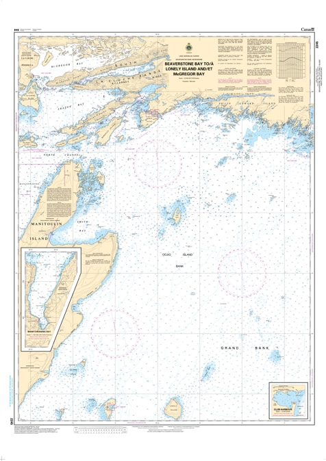
The 2245 – Beaverstone Bay to Lonely Island & McGregor Bay Nautical Chart provides detailed hydrographic coverage of the waters from Beaverstone Bay to Lonely Island and McGregor Bay in Georgian Bay, Ontario. Produced by the Canadian Hydrographic Service (CHS), this official nautical chart is an essential tool for safe navigation by recreational boaters, commercial vessels, and marine professionals.
Nautical charts serve as the “road maps” of waterways, providing accurate water depths, bathymetry, seabed composition, shoreline features, coastal elevations, navigation hazards, and aids to navigation. This chart ensures precise route planning, safe harbour approaches, and secure passage through the complex islands and channels of Georgian Bay.
Official CHS nautical chart covering Beaverstone Bay to Lonely Island & McGregor Bay, Georgian Bay
Accurate depth soundings and bathymetric detail
Detailed shoreline and coastal features
Navigation hazards and marine aids clearly indicated
Seabed composition and marine reference data
Suitable for recreational, commercial, and professional marine use
Recreational boating and fishing in Georgian Bay
Commercial marine operations
Harbour approach and route planning
Marine navigation reference and research