QUESTIONS? CALL OR TEXT! 1 (877) 921-6277 or (403) 266-2241
WE SHIP EVERYWHERE!

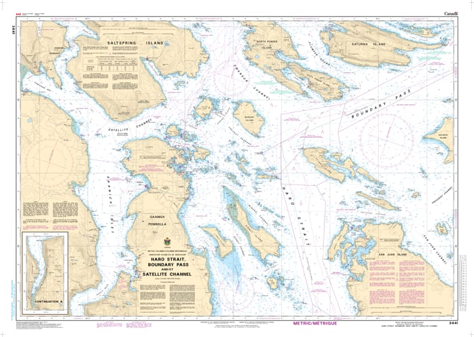
Navigate one of the most dynamic and high-traffic marine corridors in North America with the professional authority of the Canadian Hydrographic Service (CHS). Chart 3441 is the essential "road map" for mariners transiting the deep-water channels of Haro Strait, the international boundary of Boundary Pass, and the protected waters of Satellite Channel.
The waters surrounding the Southern Gulf Islands are a vital artery for global commerce and a premier destination for recreational cruising. CHS Chart 3441 provides the accurate data required for:
International Shipping Safety: Provides detailed coverage of the major shipping lanes in Haro Strait and Boundary Pass, used by deep-sea tankers, cargo ships, and international ferries.
Complex Tidal & Current Data: Offers essential bathymetry for navigating the powerful tidal currents and eddies found near Turn Point and Moresby Island.
Comprehensive Coastal Detail: Includes high-resolution mapping for the approaches to Sidney, BC, Portland Island, and the scenic reaches of Satellite Channel.
Hazard & Environmental Marking: Explicitly marks submerged rocks, shoals, and navigational aids, while identifying critical habitats within the Gulf Islands National Park Reserve.
As maritime traffic continues to increase in the Salish Sea, the reliability of Chart 3441 is more vital than ever. Whether you are a pilot on a container ship, a commercial fisherman, or a recreational boater exploring the Southern Gulf Islands, this official CHS chart delivers the accuracy needed to navigate these technical waters from port to port.
| Feature | Details |
| Chart Number | 3441 |
| Region | Pacific Coast (Haro Strait / Gulf Islands / Boundary Pass) |
| Scale | 1:40,000 (Coastal Scale) |
| Publisher | Canadian Hydrographic Service (CHS) |
| Key Coverage | Haro Strait, Boundary Pass, Satellite Channel, Sidney BC, Moresby Island |
| Vessel Compliance | Meets official carriage requirements for safe marine navigation |