QUESTIONS? CALL OR TEXT! 1 (877) 921-6277 or (403) 266-2241
WE SHIP EVERYWHERE!

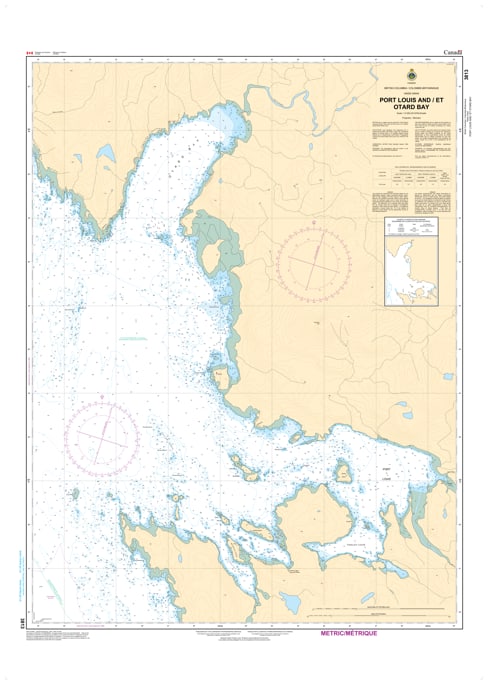
Explore the untamed beauty of the Pacific Northwest with the professional precision of the Canadian Hydrographic Service (CHS). Chart 3813 is the essential navigational resource for the West Coast of Graham Island in Haida Gwaii, providing the intricate detail required to safely enter the sheltered havens of Port Louis and Otard Bay.
The western shores of Haida Gwaii are exposed to the full force of the Pacific Ocean, making accurate charts vital for finding refuge in the deep-water inlets. CHS Chart 3813 is specifically engineered to meet these extreme conditions:
Detailed Inlet Bathymetry: Provides the high-fidelity depth soundings necessary to navigate the narrow entrances and find secure anchoring in the lee of the mountainous coastline.
Coastal Hazards & Reefs: Clearly marks the offshore pinnacles, rocky reefs, and submerged dangers that define the Haida Gwaii archipelago.
Sea Bottom Characteristics: Identifies the nature of the seabed—critical information for mariners seeking safe holding ground in the volatile weather of the North Pacific.
Elevations & Landmarks: Displays coastal configurations and topographical features to assist in visual and radar pilotage along this high-relief terrain.
With the growth of sustainable ocean resource development and boutique marine tourism, the role of Chart 3813 is more vital than ever. Whether you are a commercial fisherman, a research vessel operator, or a recreational explorer, this official CHS chart provides the "ground-truth" data required to ensure a safe passage from port to port.
| Feature | Details |
| Chart Number | 3813 |
| Region | Haida Gwaii, Graham Island (West Coast) |
| Publisher | Canadian Hydrographic Service (CHS) |
| Key Coverage | Port Louis, Otard Bay, Tian Head, Solide Passage |
| Scale | Large-scale navigational detail for harbor approaches |
| Vessel Compliance | Certified for safe marine navigation under Canadian regulations |