QUESTIONS? CALL OR TEXT! 1 (877) 921-6277 or (403) 266-2241
WE SHIP EVERYWHERE!

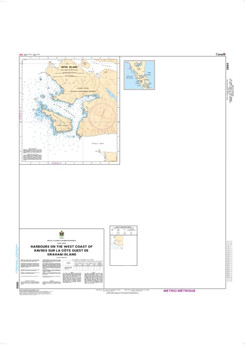
Navigate the rugged and remote Pacific frontier with the professional authority of the Canadian Hydrographic Service (CHS). Chart 3860 is a specialized "multi-plan" navigational tool, providing the high-resolution detail required to safely enter and anchor in the primary harbors along the western shore of Graham Island.
The west coast of Graham Island is one of the most exposed maritime environments in North America. CHS Chart 3860 provides the "ground-truth" data required for safe pilotage into protected waters:
Multi-Plan Coverage: Features large-scale, high-detail inserts for essential landfalls, including Port Louis, Otard Bay, Tian Bay, and the waters surrounding Frederick Island.
Precise Inlet Navigation: Offers the granular resolution necessary to identify safe leads through narrow entrances and past submerged rocks that aren't visible on broader coastal overview charts.
Anchorages & Seafloor Data: Shows precise water depths and the nature of the sea bottom (rock, sand, or mud), vital for selecting secure mooring in the deep, tide-swept inlets of northern Haida Gwaii.
Safety & Hazard Identification: Explicitly marks drying reefs, sea stacks, and kelp forests, providing situational awareness for commercial fishing fleets, research vessels, and wilderness explorers.
With increasing commercial activity and eco-tourism in the North Pacific, the reliability of Chart 3860 is more vital than ever. Specifically designed to meet the rigorous requirements of marine navigation, this official CHS chart delivers the accuracy and detail needed to navigate the wild western edge of Canada with total confidence.
| Feature | Details |
| Chart Number | 3860 |
| Region | Pacific Coast (West Coast Graham Island / Haida Gwaii) |
| Format | Multi-Plan Chart (Multiple large-scale harbor inserts) |
| Publisher | Canadian Hydrographic Service (CHS) |
| Key Coverage | Port Louis, Otard Bay, Tian Bay, Frederick Island |
| Compliance | Meets official carriage requirements for safe marine navigation |