QUESTIONS? CALL OR TEXT! 1 (877) 921-6277 or (403) 266-2241
WE SHIP EVERYWHERE!

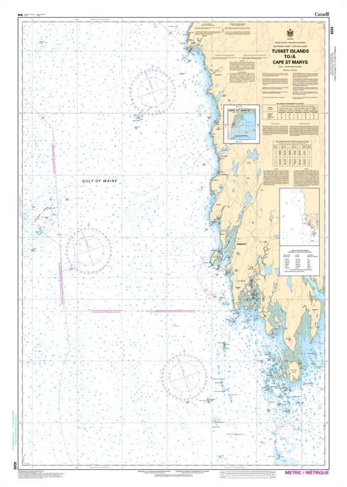
Navigate the western reach of Nova Scotia's Atlantic coast with the definitive accuracy of CHS Nautical Chart 4243. Covering the critical maritime corridor from the northern edge of the Tusket Islands to Cape St. Marys, this chart is the primary resource for vessels entering the southern entrance of the Bay of Fundy. This region is home to some of the most productive fishing grounds in the North Atlantic and requires precise data to manage its high tidal ranges and rocky shoreline.
Chart 4243 provides high-resolution hydrographic detail for the approach to the Port of Yarmouth, one of Atlantic Canada's most vital transportation hubs. From the rugged cliffs of Cape Forchu to the intricate channels of the Tusket archipelago, this chart offers updated soundings, seabed characteristics, and clearly defined navigational aids. Whether you are a commercial harvester, a ferry operator, or a coastal cruiser, this resource ensures safe passage through the unpredictable waters of the Yarmouth County coastline.
Key Features include:
Strategic Coastal Coverage: Spans from the northwestern edge of the Tusket Islands through the Yarmouth approaches up to the prominent headland of Cape St. Marys.
Yarmouth Harbour Detail: Includes essential data for navigating the entrance to Yarmouth, featuring the iconic Cape Forchu Light station and surrounding shoals.
Complex Hydrography: Precise mapping of the transition zones between the Atlantic Ocean and the powerful tides of the Bay of Fundy.
Safety & Hazards: Clearly indicates submerged rocks, ledges, and wrecks common to the "Fog Coast," along with all active buoys and lighthouses.
Professional Standards: Produced by the Canadian Hydrographic Service (CHS) to meet the rigorous demands of modern maritime navigation and GIS mapping.