QUESTIONS? CALL OR TEXT! 1 (877) 921-6277 or (403) 266-2241
WE SHIP EVERYWHERE!

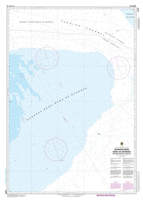
Navigate the deep-water frontiers of the Northwest Atlantic with the professional precision of CHS Nautical Chart 4255. This vital hydrographic resource provides extensive coverage of the Eastern Portion of Georges Bank, a region of immense ecological and economic significance. Spanning the international maritime boundary between Canada and the United States, this chart is an essential tool for offshore commercial fishing fleets, deep-sea research vessels, and international shipping traffic traversing the Hague Line.
Chart 4255 offers high-resolution mapping of one of the world's most productive fishing grounds. It features detailed bathymetry for the Northeast Peak and the steep continental slope, providing critical data on depth soundings, seabed composition, and the powerful tidal surges unique to the bank. Whether you are managing longline operations for swordfish or navigating the busy transit lanes of the North Atlantic, this official Canadian Hydrographic Service chart provides the accuracy required for safe offshore operations far from the Nova Scotia coast.
Key Features include:
Extensive Offshore Coverage: Focuses on the remote eastern sector of Georges Bank, including the critical international boundary (The Hague Line).
Deep-Water Bathymetry: Features precise contouring and soundings for the bank’s plateau and the dramatic drop-offs of the continental shelf.
Fisheries Management Tool: Indispensable for commercial harvesters targeting scallops, groundfish, and pelagic species in the productive "Northeast Peak" zone.
Navigational Hazards: Clearly identifies shifting sand shoals, unpredictable currents, and remote offshore bank characteristics.
Professional Grade: Produced to the rigorous standards of the Canadian Hydrographic Service (CHS) for professional offshore navigation and GIS spatial analysis.