QUESTIONS? CALL OR TEXT! 1 (877) 921-6277 or (403) 266-2241
WE SHIP EVERYWHERE!

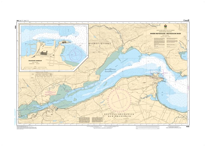
Navigate the scenic and commercially vital waters of the Restigouche River with the unmatched precision of CHS Nautical Chart 4426. Providing detailed coverage from the western reaches of the Baie des Chaleurs to the head of navigation, this chart is an essential resource for mariners traversing the boundary waters between New Brunswick and Quebec.
Chart 4426 offers high-resolution hydrographic data for the busy industrial ports of Dalhousie and Campbellton. It features critical information on the river’s dredged channels, shifting sandbars, and the unique tidal conditions of the estuary. Whether you are a commercial pilot guiding deep-draft vessels to the pulp and paper terminals or a recreational boater exploring the world-famous salmon fishing waters of the Restigouche, this official Canadian Hydrographic Service chart provides the soundings, navigational aids, and shoreline detail necessary for safe and efficient transit.
Key Features include:
Detailed Riverine Coverage: Spans from the entrance at Miguasha and Dalhousie upstream to the bridges at Campbellton and Cross Point.
Port Infrastructure: High-scale mapping of the Dalhousie and Campbellton waterfronts, including commercial wharves, marinas, and breakwaters.
Hydrographic Accuracy: Features precise depth soundings for the main shipping channels and clearly indicates the "Restigouche Bar" and other shallow-water hazards.
Navigational Aids: Clearly marked range lights, buoys, and daymarks essential for navigating the river’s winding course.
Professional Grade: Produced to the rigorous standards of the Canadian Hydrographic Service (CHS) for professional pilotage and GIS spatial analysis.