QUESTIONS? CALL OR TEXT! 1 (877) 921-6277 or (403) 266-2241
WE SHIP EVERYWHERE!

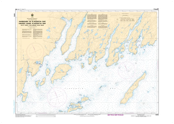
Navigate the rugged and historic southern coast of Newfoundland with Nautical Chart 4615. This high-detail hydrographic resource provides specialized coverage of the Harbours in Placentia Bay, specifically focusing on the coastal stretch from Petite Forte to Broad Cove Head.
Designed for precise pilotage, Chart 4615 offers large-scale harbour plans that are essential for safely entering the region's sheltered coves and fishing outports. It features high-resolution bathymetric soundings, identifies hazardous underwater ledges and rocky shoals typical of the Burin Peninsula’s eastern shore, and provides the exact positioning of navigational aids. Whether you are a commercial mariner operating in the busy waters of Placentia Bay or a coastal cruiser exploring remote Newfoundland reaches, this chart provides the professional accuracy needed for secure anchorage and harbour transit.
Key Features:
Detailed Harbour Plans: Large-scale mapping for specific inlets and harbours between Petite Forte and Broad Cove Head.
Hydrographic Precision: Features updated depth contours, reef locations, and shoreline topography for the eastern Burin Peninsula area.
Placentia Bay Safety: Essential for navigating the complex tidal currents and frequent fog conditions of Newfoundland’s south coast.
Navigational Aids: Clear identification of lights, buoys, and coastal landmarks vital for safe harbor approaches.