QUESTIONS? CALL OR TEXT! 1 (877) 921-6277 or (403) 266-2241
WE SHIP EVERYWHERE!

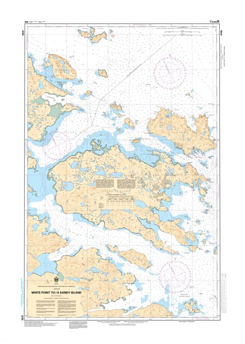
The Canadian Hydrographic Service (CHS) Chart 4745 is an official, high-precision marine navigation chart designed for commercial shipping fleets, industrial cargo vessels, and regional fishing operators traveling along the rugged southeastern coast of Labrador. This authoritative nautical asset provides critical "ground-truth" coastal data required for safe passage planning, shallow-water maneuvering, and island transit through the complex maritime corridor extending from White Point up to Sandy Island.
Detailed Coastal Tracking: Delivers continuous, high-resolution mapping of the island-fringed Labrador shoreline, illustrating critical channels, hidden shoals, and protective island configurations between White Point and Sandy Island.
Official Bathymetric & Seafloor Data: Packed with precise localized depth soundings, low-tide marine benchmarks, and subarctic reef indicators essential for managing safe draft clearance and identifying secure anchoring grounds.
Essential Aids to Navigation: Explicitly details all official maritime buoys, coastal light stations, daybeacons, and prominent land topography to ensure high-visibility situational awareness during night transits or thick Atlantic fog.
Premium Multi-Light Legibility: Printed with vibrant, high-contrast marine inks specifically engineered to maintain maximum readability under both intense cabin sunlight and dim red-light night-deck conditions.
Legal Vessel Compliance: Fully satisfies international SOLAS (Safety of Life at Sea) carriage regulations and Canada Shipping Act mandates for vessels requiring official, up-to-date hydrographic documentation.