QUESTIONS? CALL OR TEXT! 1 (877) 921-6277 or (403) 266-2241
WE SHIP EVERYWHERE!

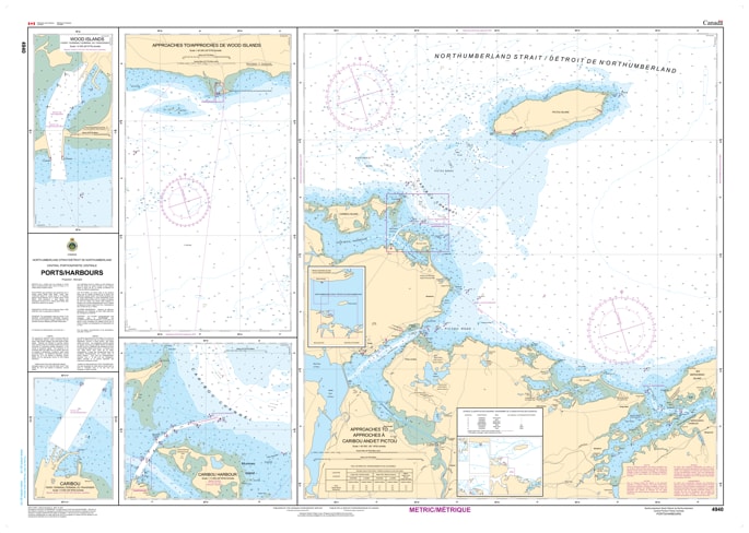
Navigate the busiest corridor of the Maritimes with the professional precision of the Canadian Hydrographic Service (CHS). Chart 4940 is a specialized "Plans" chart, offering high-resolution, large-scale views of the vital ports and harbours within the Central Portion of the Northumberland Strait.
This chart provides the granular data required to safely transition from the open strait into the restricted waters of regional ports. It is an indispensable resource for mariners operating near the Confederation Bridge area:
Comprehensive Harbour Plans: Features large-scale insets for critical hubs including Summerside and Borden-Carleton (PEI), as well as Cape Tormentine (NB).
Confederation Bridge Approaches: Provides the necessary detail for vessels navigating the high-traffic waters surrounding the bridge piers and commercial shipping lanes.
Precise Hydrographic Data: Detailed depth soundings and seafloor characteristics—essential for deep-draft commercial vessels and the local lobster fishing fleet.
Infrastructure & Aids to Navigation: Clearly identifies wharves, breakwaters, mooring buoys, and range lights that facilitate safe docking in varied weather conditions.
As commercial shipping and recreational boating in the central strait grow in complexity, the role of Chart 4940 is more vital than ever. Whether you are a captain of a tug-and-barge operation, a commercial harvester, or a recreational sailor crossing between the provinces, this official CHS "road map" ensures you have the most accurate information on depths, dangers, and coastal configuration.
| Feature | Details |
| Chart Number | 4940 |
| Region | Central Northumberland Strait (PEI & New Brunswick) |
| Type | Plans (Large-Scale Port Insets) |
| Publisher | Canadian Hydrographic Service (CHS) |
| Key Coverage | Summerside, Borden-Carleton, Cape Tormentine, Port Elgin |
| Application | Commercial transit, fishing operations, and inter-provincial cruising |