QUESTIONS? CALL OR TEXT! 1 (877) 921-6277 or (403) 266-2241
WE SHIP EVERYWHERE!

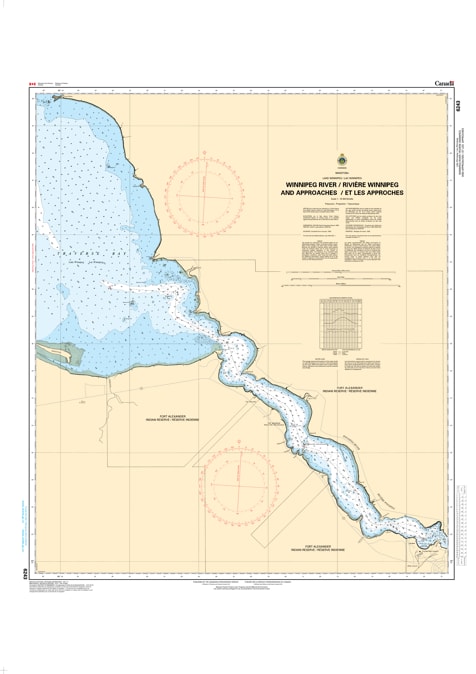
Navigate the complex currents and channels of the Winnipeg River and its Approaches with the high-precision 6243 nautical chart. Published by the Canadian Hydrographic Service (CHS) at a detailed 1:19,300 scale, this official navigational product is the definitive "road map" for mariners moving between the river system and the open waters of Lake Winnipeg.
As recreational boating and fishing activity increase in this scenic but technical region, the role of CHS data is more vital than ever. This chart is meticulously designed to provide the safety and clarity required for marine navigation, featuring:
High-Resolution Bathymetry: Precise water depth soundings at a 1:19,300 scale to ensure safe passage and keel clearance.
Riverbed & Sea Bottom Detail: Information on the nature of the bottom to assist in secure anchoring and hazard avoidance.
Coastal Topography: Accurate mapping of shorelines, configurations, and elevations for reliable visual referencing.
Navigational Hazards & Aids: Clear identification of underwater dangers, rocks, buoys, lights, and beacons to guide you safely through the approaches.
Whether you are a local fisherman or a recreational boater exploring the entrance to the Winnipeg River, this official CHS chart provides the professional-grade accuracy needed to protect your vessel and ensure a successful voyage.