QUESTIONS? CALL OR TEXT! 1 (877) 921-6277 or (403) 266-2241
WE SHIP EVERYWHERE!

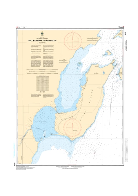
Navigate the essential waterways connecting Gull Harbour and Riverton with the precision of the 6249 nautical chart. Published by the Canadian Hydrographic Service (CHS), this official navigational tool serves as the definitive "road map" for mariners traversing the western shores of Lake Winnipeg and the Icelandic River approach. As recreational boating, commercial fishing, and regional transit increase, the role of CHS data is more vital than ever for safe, port-to-port navigation.
Meticulously engineered to meet professional marine standards, this chart provides critical data, including:
Bathymetry & Depth Soundings: Detailed water depths to ensure safe keel clearance around the Hecla Island area and the Riverton approach.
Submarine Topography: Vital information regarding the nature of the lake and river bottom for secure anchoring and hazard avoidance.
Coastal Characteristics: Accurate mapping of shorelines, elevations, and the unique coastal configuration between Gull Harbour and Riverton.
Navigational Aids: Clear identification of underwater dangers, rocks, buoys, lights, and beacons to guide you safely through narrow channels.
Whether you are a local fisherman, a recreational boater exploring Hecla-Grindstone Provincial Park, or a commercial operator, this official CHS chart delivers the technical accuracy required for a safe and successful voyage.