QUESTIONS? CALL OR TEXT! 1 (877) 921-6277 or (403) 266-2241
WE SHIP EVERYWHERE!

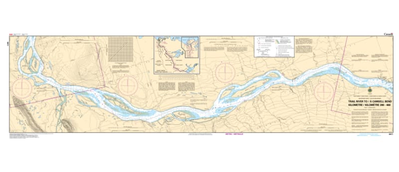
Navigate the mighty Mackenzie River with precision using the 6411 - Trail River to/à Camsell Bend Nautical Chart. Covering the critical Kilometre 390 to Kilometre 460 stretch, this professional-grade hydrographic reference is the definitive guide for the central corridor of Canada’s longest river system. Whether you are managing commercial freight logistics or embarking on a northern river expedition, Chart 6411 provides the "ground-truth" data required for safe passage through the Deh Cho region.
Produced to the rigorous standards of the Canadian Hydrographic Service (CHS), Chart 6411 delivers comprehensive information for this dynamic waterway:
Route Coverage (KM 390–460): Features detailed soundings and channel markers for the 70-kilometre stretch leading to and from the strategic junction at Camsell Bend.
Trail River & Camsell Bend Junction: High-resolution mapping of the confluence areas, essential for navigating the shifting silts and currents where tributaries meet the main stem.
Shipping Channel Identification: Clearly marks the recommended tracks for heavy-draft barges and supply vessels, essential for the "Northern Supply" season.
Natural Landmarks & Hazards: Identifies sandbars, rocky outcroppings, and shoreline features that serve as vital visual cues in the remote northern wilderness.
Beyond the wheelhouse, this chart serves as a sophisticated piece of geographic history for those with a connection to the Northwest Territories.
Official Technical Aesthetic: Showcases the intricate line work, sounding density, and specialized river symbols that define professional Canadian inland hydrography.
Vivid Print Clarity: Printed with high-definition precision to ensure every depth contour and navigational buoy is sharp and legible under the unique lighting of the midnight sun.
The Perfect NWT Gift: An ideal memento for river pilots, researchers, and residents of the Dehcho Region who respect the power of the Mackenzie.
| Feature | Details |
| Chart Number | 6411 |
| Location | Mackenzie River, Northwest Territories |
| River Reach | KM 390 to KM 460 |
| Key Areas | Camsell Bend, Trail River, Deh Cho Region |
| Data Type | Hydrographic (River Depths, Channel Tracks) |
| Publisher | Canadian Hydrographic Service (CHS) Standards |