QUESTIONS? CALL OR TEXT! 1 (877) 921-6277 or (403) 266-2241
WE SHIP EVERYWHERE!

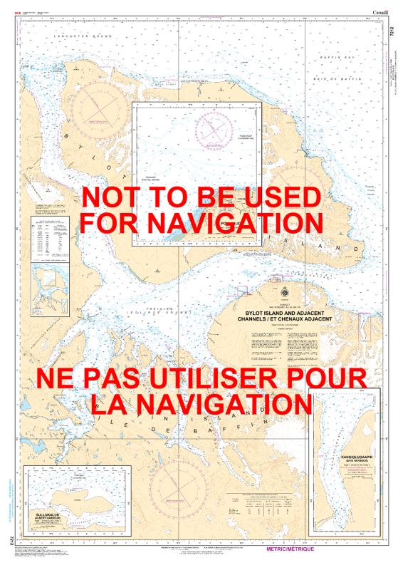
The 7212 – Bylot Island and Adjacent Channels Nautical Chart provides comprehensive hydrographic coverage for safe navigation around Bylot Island and its surrounding channels in northern Canada. Produced by the Canadian Hydrographic Service (CHS), this chart is essential for commercial shipping, scientific research, recreational boating, and exploration in Arctic waters.
Nautical charts act as the “road maps” of waterways, providing critical information on water depths, coastal and shoreline features, seabed composition, hazards, and aids to navigation. This chart ensures precise route planning and safe passage through this remote and challenging region of northern Canadian waters.
Coverage of Bylot Island and adjacent channels
Accurate water depths and bathymetric information
Coastal and shoreline configurations
Seabed composition and underwater hazards
Navigation aids and marine reference data
Designed for safe marine navigation in Arctic regions
Commercial shipping and marine operations in Arctic waters
Scientific research and environmental surveys
Recreational boating and exploration
Route planning and safety reference for Arctic navigation