QUESTIONS? CALL OR TEXT! 1 (877) 921-6277 or (403) 266-2241
WE SHIP EVERYWHERE!

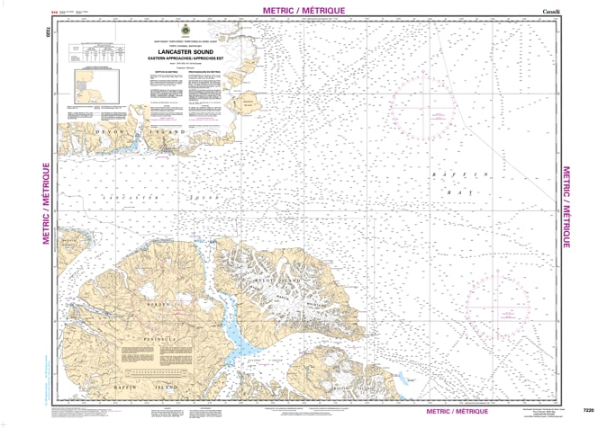
The 7220 – Lancaster Sound, Eastern Approaches Nautical Chart provides detailed hydrographic coverage of the eastern approaches to Lancaster Sound in Canada’s Arctic region. Produced by the Canadian Hydrographic Service (CHS), this official chart delivers reliable and precise information essential for safe marine navigation in northern waters.
Canadian Hydrographic Service nautical charts serve as vital navigation tools for commercial shipping, research vessels, and Arctic marine operations. Often described as the “road maps” of waterways, these charts guide mariners safely by presenting detailed information on water depths, seabed composition, coastal features, shoreline characteristics, elevations, hazards, and aids to navigation.
This chart is specifically designed to support marine navigation in the challenging conditions of Arctic waters, helping mariners plan routes and operate safely in Lancaster Sound’s strategically important shipping corridor.
Official CHS nautical chart for Lancaster Sound eastern approaches
Precise depth soundings and bathymetric information
Coastal configuration and shoreline detail
Identified navigation hazards and marine features
Aids to navigation and reference data
Essential chart for Arctic marine navigation and planning
Commercial and research vessels operating in Arctic waters
Marine navigation and route planning
Government and scientific operations
Professional and recreational mariners in northern Canada