QUESTIONS? CALL OR TEXT! 1 (877) 921-6277 or (403) 266-2241
WE SHIP EVERYWHERE!

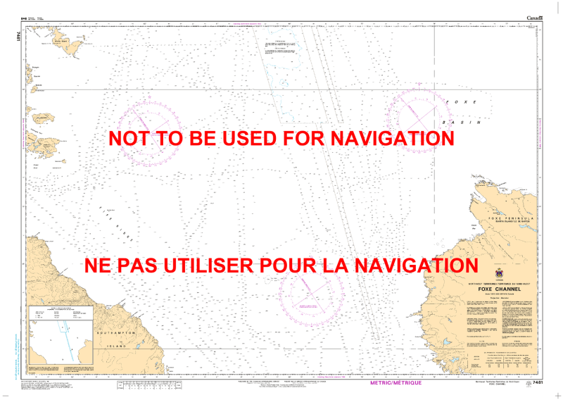
The Canadian Hydrographic Service (CHS) Chart 7481 is an official, high-precision marine navigation chart designed for commercial shipping fleets, industrial supply vessels, and arctic expedition cruises operating in Canada's far north. Published at a wide regional scale of 1:300,000, this critical cartographic asset provides authoritative "ground-truth" data for transiting the remote waters of the Foxe Channel, a vital subarctic waterway connecting the northern reaches of Hudson Bay and the western entrance of Hudson Strait with the Foxe Basin in Nunavut.
Expansive Arctic Corridor Tracking: Delivers extensive, high-resolution coverage across the rugged and ice-heavy waters of Foxe Channel, charting a hazardous northern corridor heavily utilized by regional shipping and research operations.
Official Bathymetric Data: Packed with verified deep-water and coastal soundings, shifting undersea contour lines, and subarctic hazard markers necessary for managing safe draft clearance in variable depths.
Essential Aids to Navigation: Explicitly details high-visibility lighthouses, coastal beacons, radar responders (Racons), and prominent topography to ensure precise positional confirmation under heavy arctic fog, low-light night decks, or late-season pack ice.
Premium Multi-Light Legibility: Printed with vibrant, high-contrast marine inks specifically formulated to remain completely clear and readable under direct pilot house sunlight or dim red-light night conditions.
Legal Vessel Compliance: Fully satisfies international SOLAS (Safety of Life at Sea) carriage regulations and Canada Shipping Act mandates for vessels requiring official hydrographic documentation for Arctic Canadian waters.