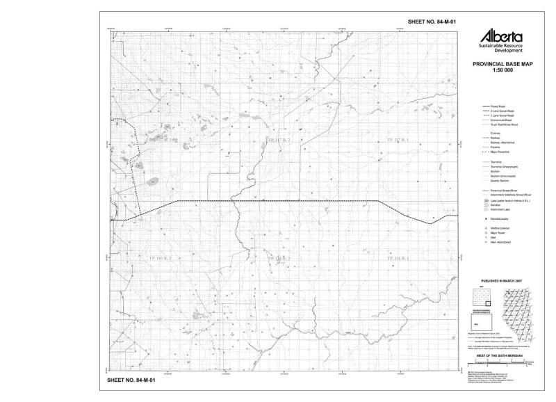
This series of cartographic quality 1:50 000 scale monochrome maps cover the provincial extent of Alberta. At this scale 1.0 cm on the map represents 0.5 km on the ground. Each map covers an area of 0.50 degree longitude by 0.25 degree latitude. Generally these maps are printed on 26" x 36" paper size.
These maps display:
- Alberta Township System (ATS)
- cutlines
- facilities
- hydrographic features
- municipalities
- pipelines
- powerlines
- railways
- roads
- select geo-administrative features (parks, reserves, etc.)