QUESTIONS? CALL OR TEXT! 1 (877) 921-6277 or (403) 266-2241
WE SHIP EVERYWHERE!

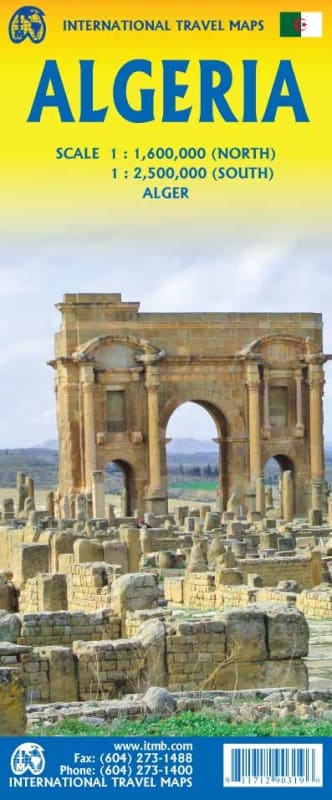
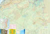
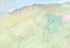
Explore the Mediterranean's biggest country with the most up-to-date and detailed map available. From the ancient Roman ruins on the coast to the vast expanse of the Sahara Desert (covering four-fifths of its territory), this map is your guide to a truly off-the-beaten-path destination.
This map is designed to facilitate your entire North African journey, not just Algeria. It offers comprehensive coverage that extends to neighboring countries, including:
Morocco, Tunisia, Libya, Niger, Mali, and Mauritania.
Crucial ferry access points to France and Spain, with coverage reaching as far north as Seville in Southern Spain.
This edition is a significant upgrade, reflecting the country's development and current usage:
New Motorways have been added to ensure accurate route planning.
Updated place names, including Alger (the modern name for Algiers).
Includes a clear inset city map of Alger and a separate inset detailing the metro system for easy navigation in the capital.
Algeria is opening up for increased tourism, and the map highlights the country's rich past. Discover well-preserved remains from ancient times along the coast, including those from the Roman Empire and the Tilamsun Empire. A dedicated Top Attractions list helps you quickly find the key historical and cultural sites worth visiting.
Plan your ambitious North African expedition with confidence. Get your Algeria Travel Map today!