QUESTIONS? CALL OR TEXT! 1 (877) 921-6277 or (403) 266-2241
WE SHIP EVERYWHERE!

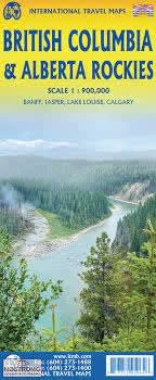
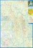
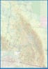
Plan your ultimate road trip across the Canadian Rocky Mountains with this essential, double-sided travel map. Providing seamless coverage across Alberta and British Columbia, this single map is the only tool you need to navigate North America’s most spectacular mountain range.
Designed specifically for adventurers, this map is packed with crucial recreational detail:
National Parks: Comprehensive coverage of Banff, Jasper, and Yoho National Parks, plus various provincial parks straddling the border.
Outdoor Sites: Clear locations for campgrounds, ski areas, and historic sites across the vast region.
Road Network: Emphasis on secondary roads and scenic routes, ideal for getting off the main highway and deep into the wilderness.
The map is intelligently split to provide high detail for both provinces and the dramatic Continental Divide (where rivers flow to the Pacific or the Atlantic):
| Side 1: Alberta Rockies | Side 2: British Columbia Rockies |
| Covers the Alberta Rockies west to Kamloops. | Covers the BC Rockies from Fort St. John to the Yukon. |
| Includes an inset map of Calgary Downtown. | Features high-detail insets of Banff, Jasper, and Lake Louise. |
| Color-coded to elevation to clearly show the mountainous terrain. | Focuses on the more northerly stretch of the Rockies. |
Ready to explore the majestic mountains, clear lakes, and untouched wilderness? Secure your BC & Alberta Rockies Travel Map today!