QUESTIONS? CALL OR TEXT! 1 (877) 921-6277 or (403) 266-2241
WE SHIP EVERYWHERE!

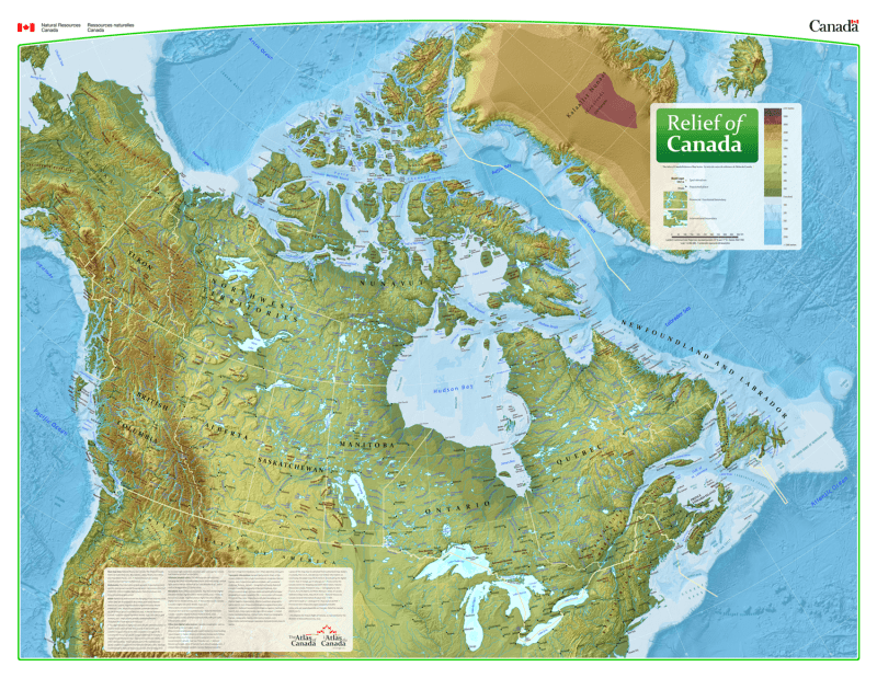

Discover the true shape of the north with the Relief Map of Canada, a flagship publication from the National Atlas of Canada Reference Map Series. Produced by Natural Resources Canada (NRCan), this wall map is renowned for its stunning and current digital shaded relief, providing a realistic, three-dimensional perspective of the country's vast and varied topography.
This map is celebrated for its use of the Vertical Near-Side Perspective Projection, which provides a unique three-dimensional view of the nation. It offers critical geographic data, including:
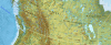
Detailed Shaded Relief: High-resolution digital rendering that highlights major physical features such as mountain ranges, peaks, and spot elevations.
Bathymetric Tints: Expertly applied ocean contours and depth tints reveal the complex geography of Canada's seafloors and continental shelf.
Political & Human Geography: Includes all official provincial and territorial boundaries—including the historic 1999 Nunavut boundary—along with an extensive network of populated places classified into six population size classes.
Conservation & Resources: Clearly identifies the extent and names of every National Park in Canada, as well as the 200-mile offshore exclusive economic zone.
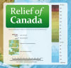
The map sheet features three essential 1:35,000,000 scale insets for deep-dive regional analysis:
Physiographic Regions: Categorizing the land by its geological and topographical character.
Major Drainage Basins: Mapping the flow of Canada's vital water resources.
Vegetation Cover Classes: Identifying the diverse ecological zones across the country.
| Feature | Details |
| Reference Number | MCR 0101 (English) / MCR 0101F (French) |
| Series | National Atlas of Canada Reference Map Series |
| Projection | Vertical Near-Side Perspective |
| Primary Scale | 1:6,000,000 |
| Publisher | Natural Resources Canada (NRCan) |
| Key Insets | Physiographic Regions, Drainage Basins, Vegetation Cover |
| Dimensions | 44" x 34" (Standard Wall Size) |