QUESTIONS? CALL OR TEXT! 1 (877) 921-6277 or (403) 266-2241
WE SHIP EVERYWHERE!

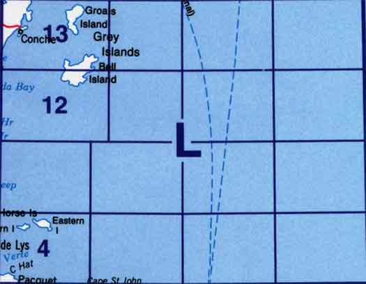
Use the following image to move to adjacent topo map indexes.
Back to the eastern Newfoundland Topographical Maps Index.
2L - Part Of 12I Port Saunders, 2L03 - Part Of 2E14 Cape St. John, 2L04 - Horse Islands, 2L11 - Part Of 2L12 Grey Islands Harbour, 2L12 - Grey Islands Harbour, 2L13 - Groais Island, 2L14 - Part Of 2L13 Groais Island