QUESTIONS? CALL OR TEXT! 1 (877) 921-6277 or (403) 266-2241
WE SHIP EVERYWHERE!

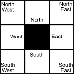
Use the following image to move to adjacent topo map indexes.
Back to the Block 092 Topographic Map Index.
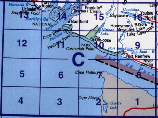
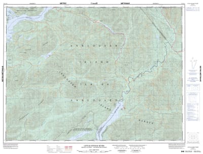
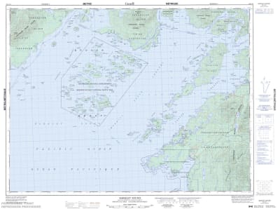
92C - Cape Flattery, 92C08 - River Jordan, 92C09 - Port Renfrew, 92C10 - Carmanah Creek, 92C11 - Pachena Point, 92C13 - Ucluelet, 92C14 - Barkley Sound, 92C15 - Little Nitinat River, 92C16 - Cowichan Lake. One or more of these maps cover a portion of Pacific Rim National Park including the West Coast Trail